The Cape Wrath Trail days 18 – 20
The Cape Wrath Trail is a long-distance hiking route in Scotland. It links Fort William with Cape Wrath, the farthest northwest point of the British mainland. Renowned as one of the toughest long-distance walks in the UK, it is not waymarked, has no single recognised route, and there is frequently no actual path underfoot. Due to its informal nature, the length of this trail varies. Most thru-hikes are around 230 miles in length.
My hike of the Cape Wrath Trail took place between June the 3rd and June the 22nd 2015, and consisted of eighteen days of walking and two rest days. My route was 241 miles in length and was based on the itinerary laid out in the popular Cicerone guide by Iain Harper, with a few small modifications. I used the new Harvey Cape Wrath Trail maps for navigation.
The CWT is one of the finest foot journeys of its kind in the UK and takes the hiker through some magnificent wild locations. Its tough and frequently trackless nature makes the route I took potentially tricky in poor weather, requiring good navigational skills, a high level of fitness, and the ability to cope with hazards such as the crossing of swift-flowing rivers. But it’s also truly magnificent. In this series of blog posts I will tell the story of my CWT adventure.
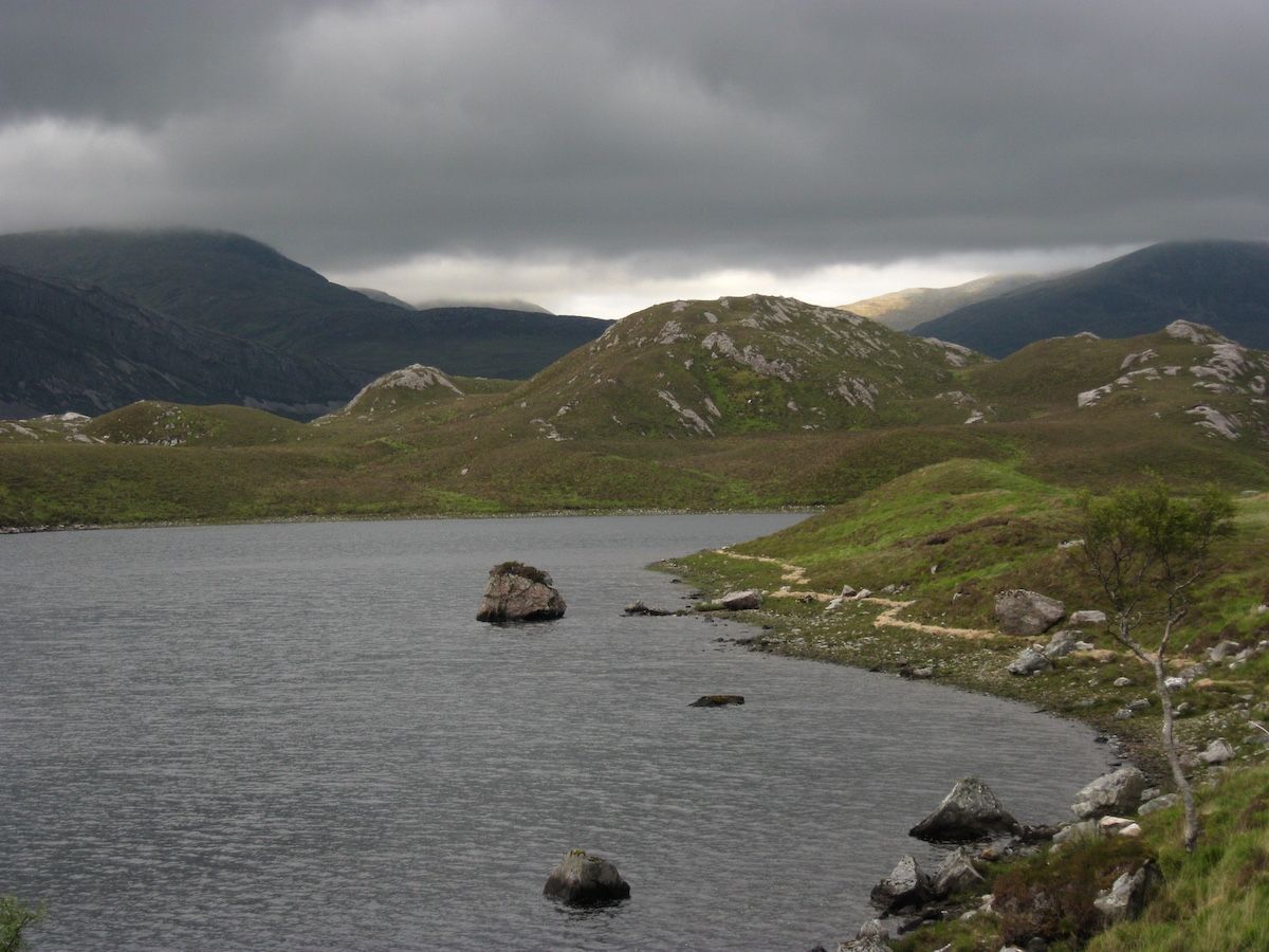 |
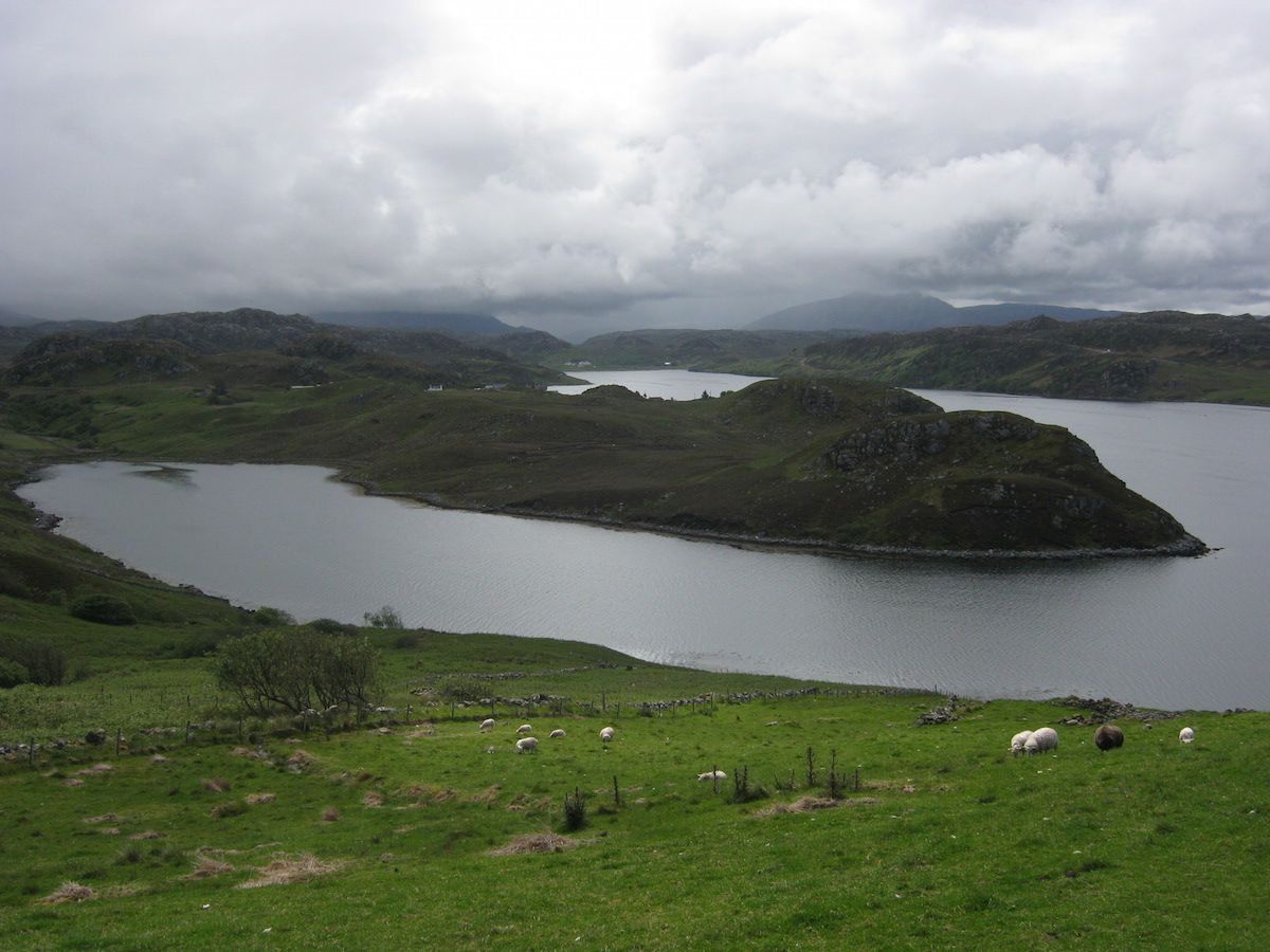
| The beautiful and mysterious Loch Stack |
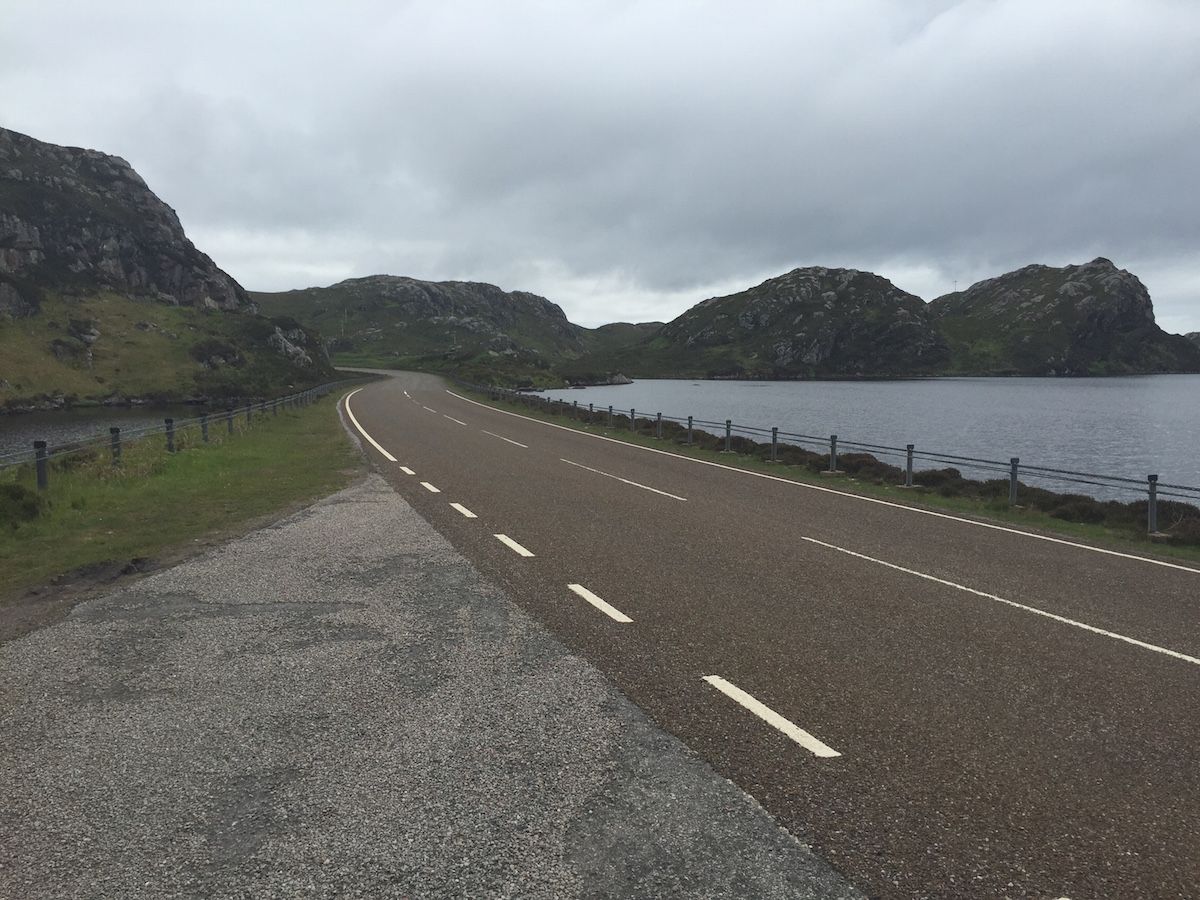 |
| Probably one of the most scenic roads in the UK |
 |
| ‘But I don’t want it to end!’ |
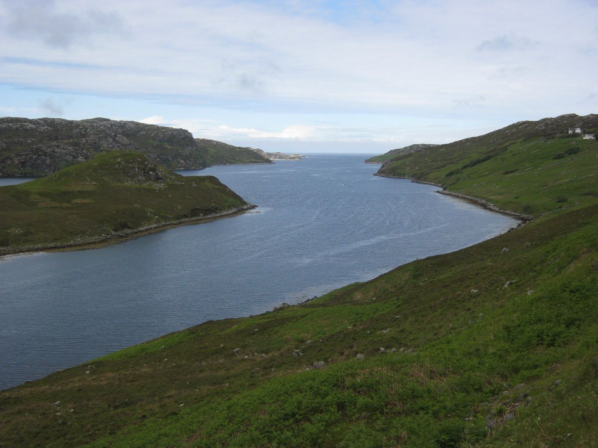 |
| The beautiful Loch Inchard |
 |
| Looks like the Mediterranean! |
 |
| Amazing views everywhere |
 |
| Looking back to Kinlochbervie |
 |
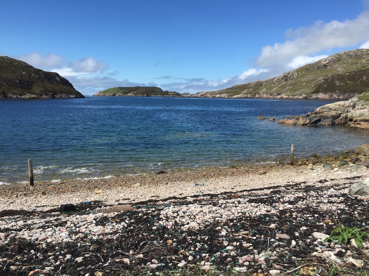
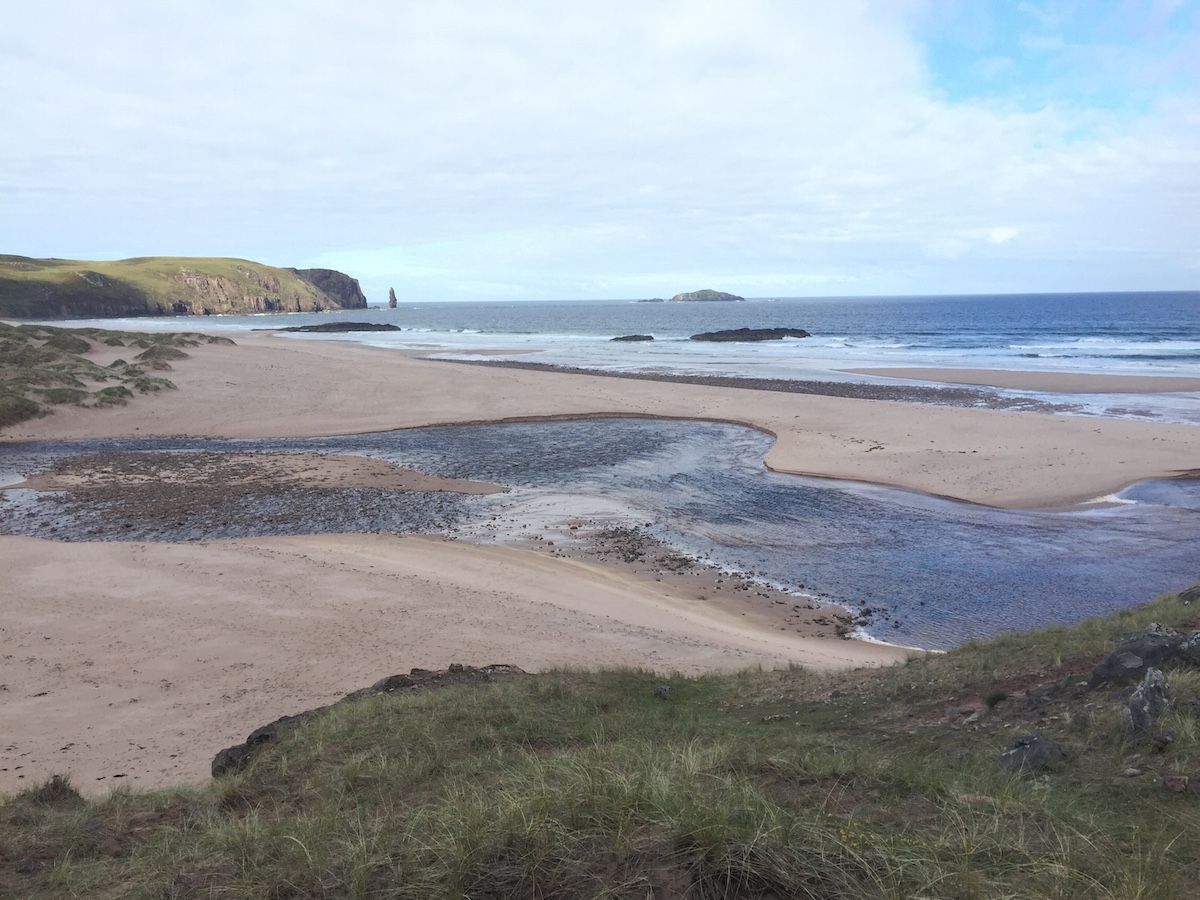
| My first view of Sandwood Bay |
As it began to rain, I spent some time looking for the best place to camp. Sandwood Bay is undoubtably the best wild-camping location on the entire CWT, with a huge variety of flat grassy pitches. I selected a sheltered spot amongst the dunes and topped up my water supply from the nearby freshwater loch.
Day 20 – June the 22nd8 miles When I woke the next morning, I knew that I couldn’t put it off any longer. This was my final day on the trail. Only eight miles remained between my wild camp and the farthest NW point of the British mainland.But the sun was out at last, and I could enjoy Sandwood Bay at its best.
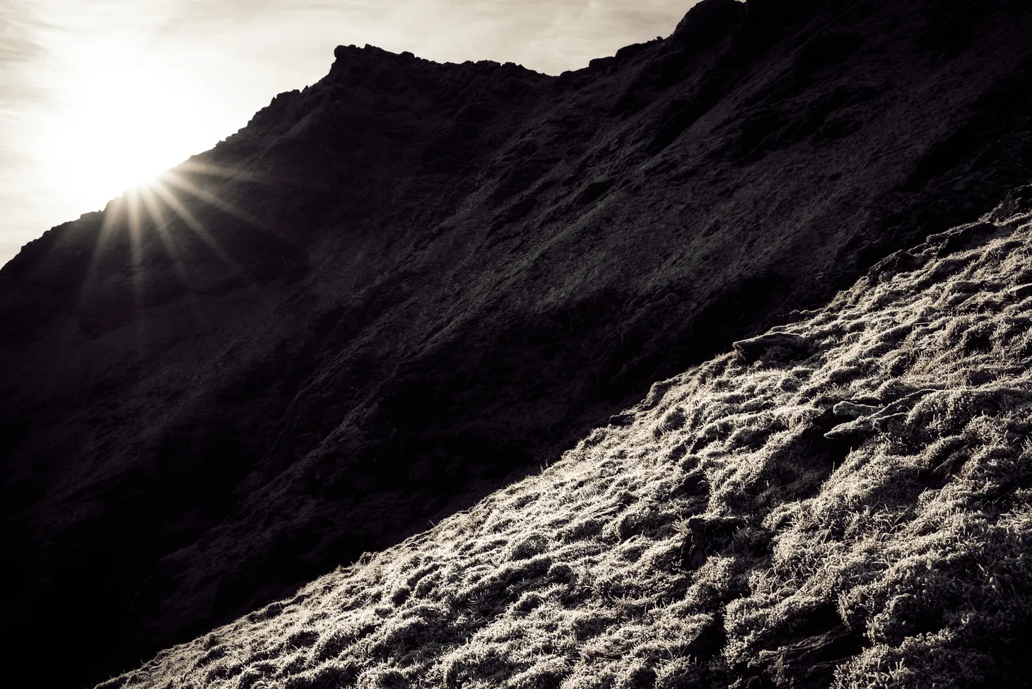
After walking across the beach I had a river to cross – actually a little deeper than I expected – then a sandy cliff to climb. From the top of the cliff I was thrust immediately into the rough and serious terrain of Cape Wrath.The final stage of the trail is almost entirely trackless and offers the hiker a choice of route: stick to the coastline or plot a course further inland? I’d heard that the inland route was easier, so I picked that. The twinge in my leg seemed to have gone but I didn’t want to take any chances this close to the end.The terrain was bleak, open, largely featureless, and involved map-and-compass navigation right from the start. My first task was to locate the remote bothy of Strathchailleach.
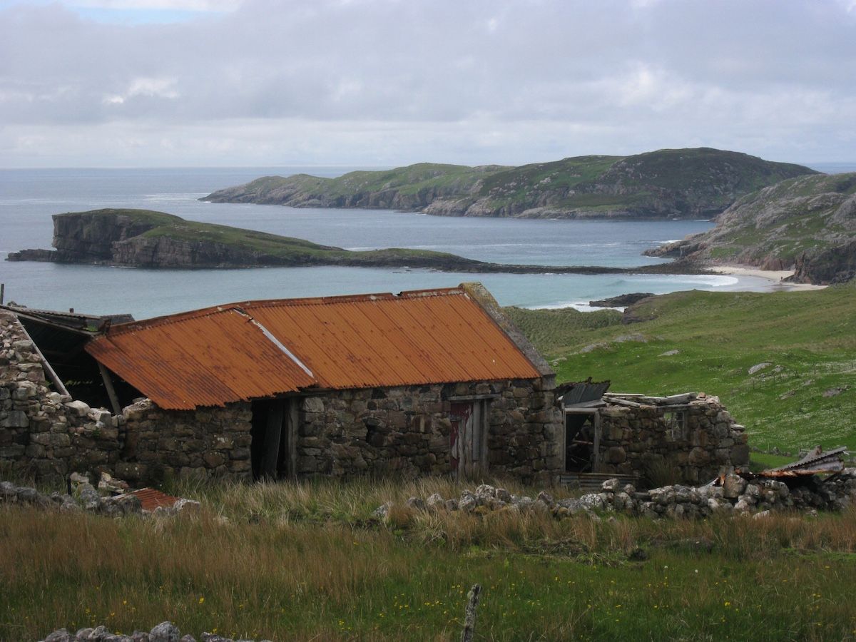
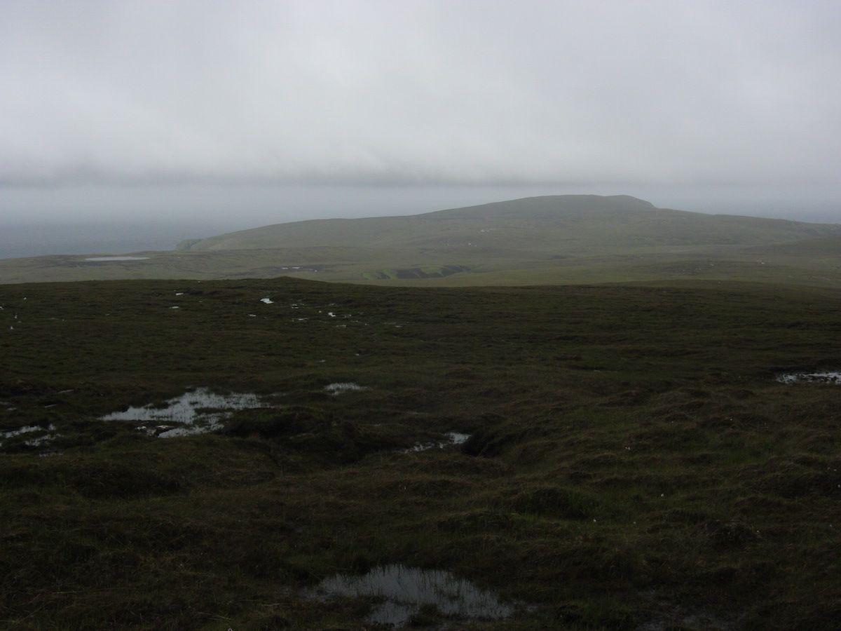 |
| A typical Cape Wrath scene |
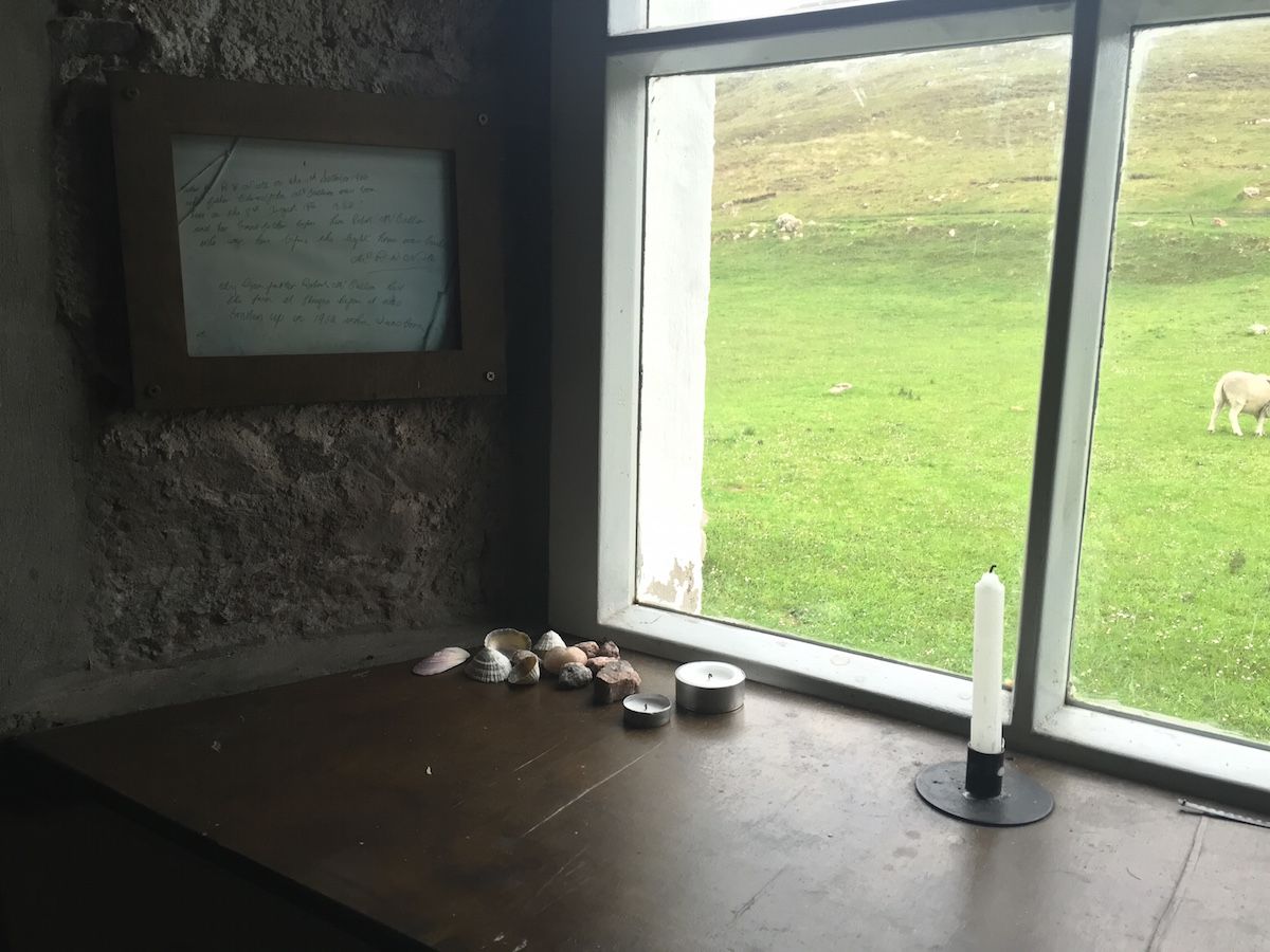
Strathchailleach has a fascinating history and I was looking forward to seeing the amazing wall paintings left by its last permanent occupant, James McRory Smith. They didn’t disappoint. Although I didn’t stay the night in this bothy, it was a memorable place to brew a cup of coffee and spend half an hour.
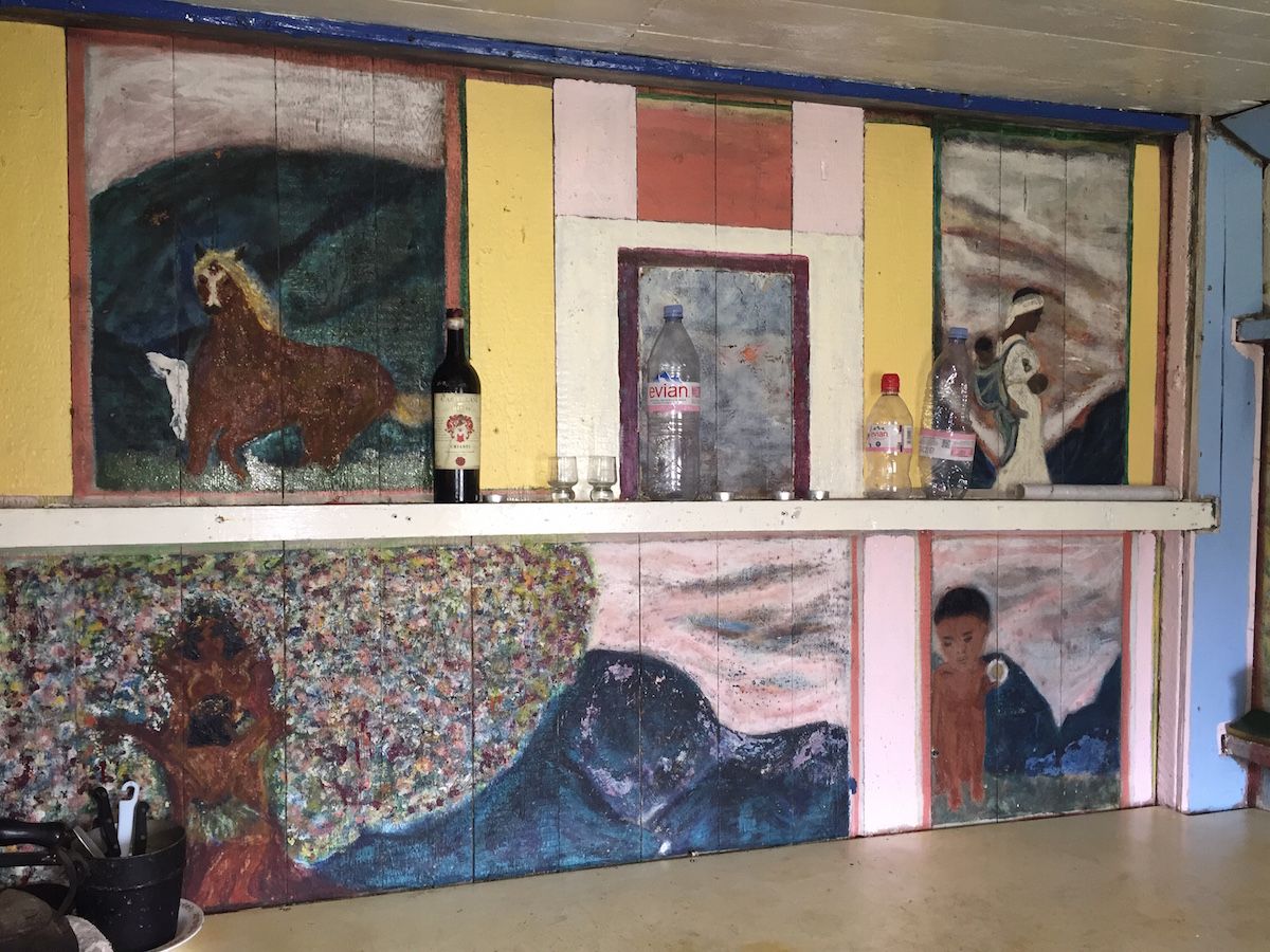 |
| The kitchen area |
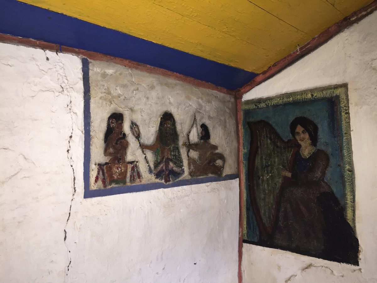 |
| The most colourful bothy in Scotland? |
Unfortunately it started raining again when I was at the bothy, and low cloud came back in with a vengeance. The bogs were pretty vicious on the line I ended up taking, too. It felt like the CWT was throwing everything it had at me right at the end.I set my compass and contoured around the hill. After a while I came across the barbed wire fence marking the edge of the live firing zone.The CWT guidebook emphasises that it’s very important to check with range control before crossing into the live firing zone. I had tried to phone through the previous day but got no response. Due to the hill fog, I could see no red flags flying on the fence, and I optimistically assumed everything would be fine. Over the fence I climbed!Onwards. One more hill to climb and contour around, then a long, gentle descent through bog. I saw a hard-surface road in the distance leading around one final headland. My last navigational act of the trail was to set my compass due north.When I reached the road, I met a sentry parked with a landrover. He told me that the RAF was about to commence bombardment in fifteen minutes! When I told him I hadn’t seen any red flags he was quite good natured about it, and told me it would be safe to wait at the lighthouse until the all-clear was sounded at 4 p.m. He told me that I was allowed to stay at the Kearvaig bothy that night, but that I would have to be escorted to the edge of the exclusion zone the next morning. I got the impression this sort of thing was a regular occurrence.So I began the final walk towards the end of the trail. I walked around the side of the last hill, and the lighthouse came into view.
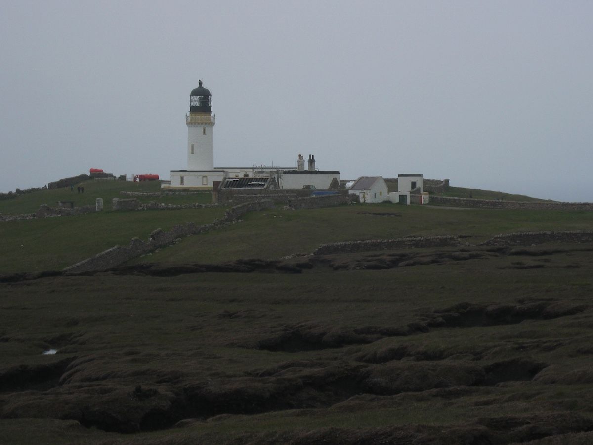
I entered the courtyard in a daze. A minibus had just arrived with tourists to see the lighthouse, and when someone asked me where I’d walked from, I told him (truthfully!) that I’d come from Fort William.
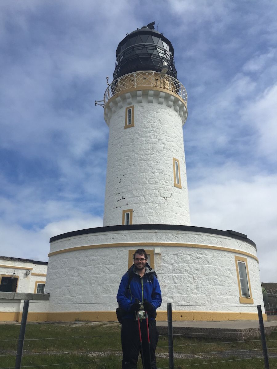 |
| The end of the CWT |
It was an emotional moment. I walked to the edge of the cliffs and looked over, perhaps seeking an extension to the trail, but there was no more north. I had come to the end.
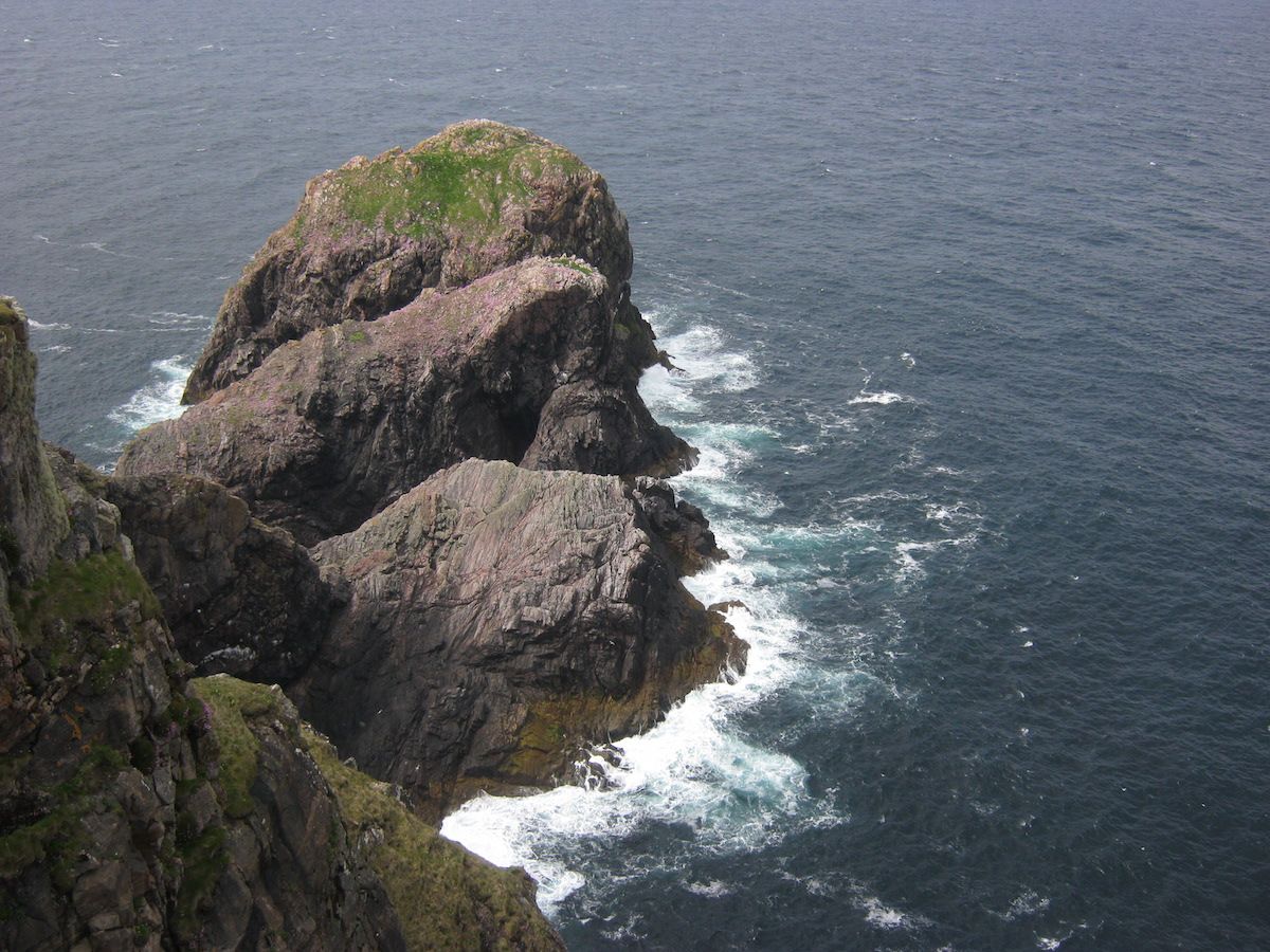 |
| The rock of Cape Wrath: big, scary, but also beautiful. Rather like the trail itself. |
I went back to the odd little cafe in the outbuildings where I ordered a cup of coffee and leafed through the trail register. I saw a couple of familiar names in there, but it contained vanishingly few records of completion for the month of June – a far cry from the fifteen or so aspirant thru-hikers a week I’d heard about all the way back at Glenfinnan.The attrition rate that month had been brutal. But I’d survived the Cape Wrath Trail.After the bombing had finished and the all-clear was sounded, I walked a few miles along the coast to the charming bothy of Kearvaig, which was to be my final bothy stay of the trip (and also the northernmost bothy in Scotland). It proved to be the best bothy of all, in a stunning location and lovingly maintained by the MBA.
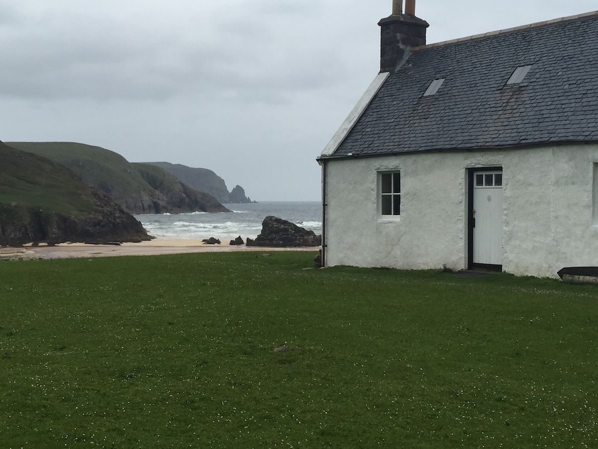 |
| Kearvaig |
I watched the waves crashing on the beach and listened to the screech of gannets on the cliffs. I sat in the chair beside the window and thought about the amazing journey I’d experienced – the austere sublimity of life on the trail, the warping of time and space back to their proper dimensions, the evidence of things not seen. I knew the trail had changed me. And I think I understood at last what it meant.
“As long as I live, I’ll hear waterfalls and birds and winds sing. I’ll interpret the rocks, learn the language of flood, storm, and the avalanche. I’ll acquaint myself with the glaciers and wild gardens, and get as near the heart of the world as I can.”
—John Muir
Alex Roddie Newsletter
Join the newsletter to receive the latest updates in your inbox.