My planned Scottish backpacking route, April – May 2016
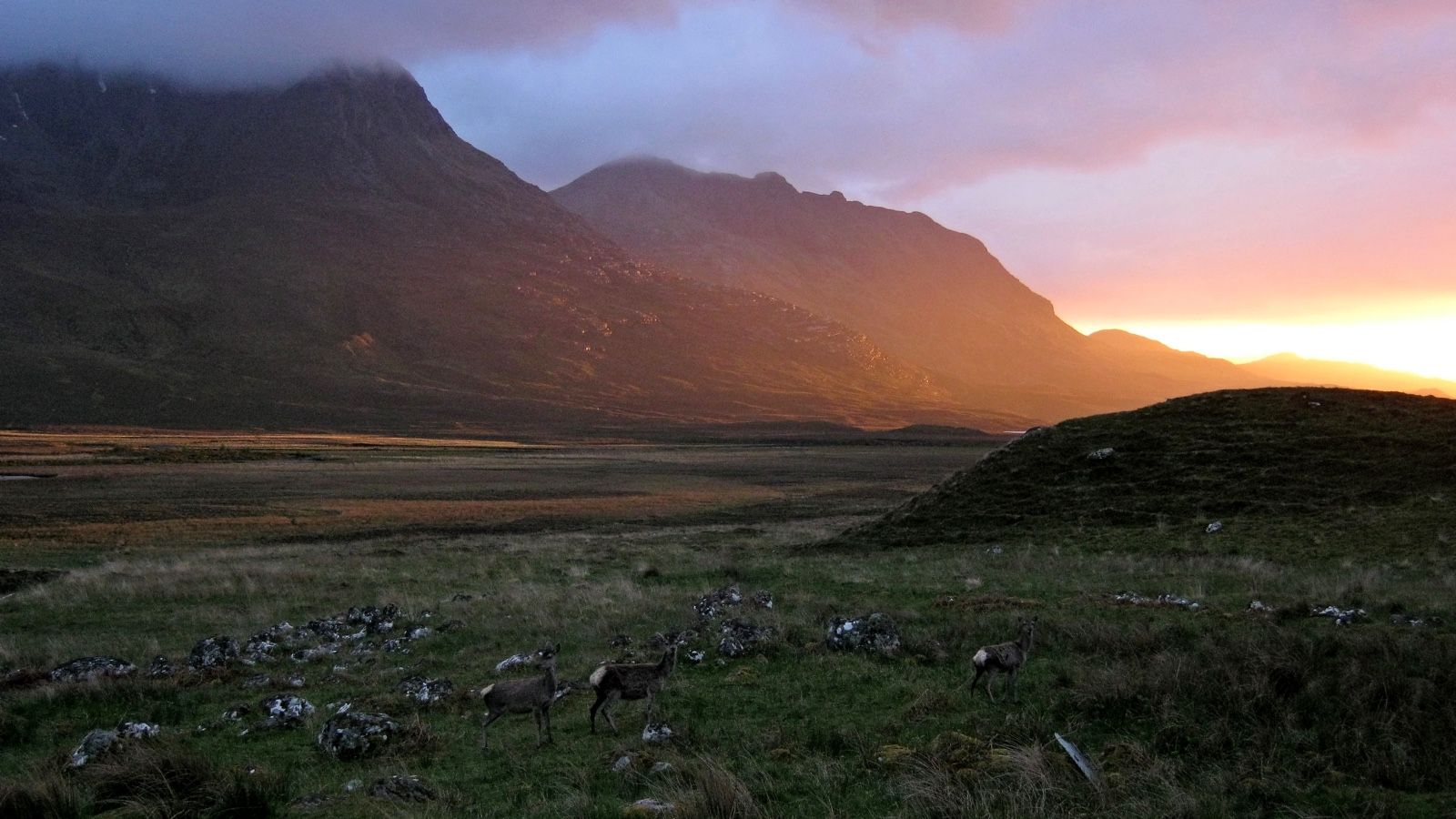
On the 20th of April, I’m heading up north for another long walk in the Highlands. Here’s what I have planned: West Highland Way, Skye Trail, and more.
I’ve been up to my eyeballs in work for the last couple of weeks, so my departure date has come round quickly – so quickly that I have neglected to blog about it until now.
My Cape Wrath Trail last year was a turning point. It taught me a lot about myself, about backpacking, and about the meaning of wild land, but this year I have something quite different planned. It’s a walk in three entirely distinct stages, totalling around 280 miles.
The West Highland Way
The West Highland Way needs no introduction. It’s Scotland’s best-known backpacking route, a 96-mile wander through some of the finest scenery south of Fort William. The route itself begins at Milngavie before following the east bank of Loch Lomond, passing Crianlarich and Tyndrum, and crossing Rannoch Moor to Glen Coe. After that it’s a final walk around the back of the Mamores from Kinlochleven to Glen Nevis.
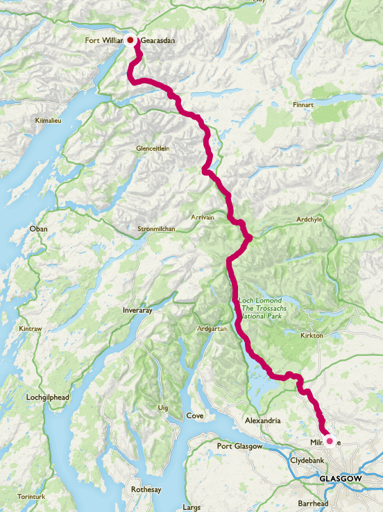
I’m aware that the WHW is a big step down in difficulty compared to last year’s CWT, and it’s a well-frequented route. But although I know the areas it passes through, I have always wanted to hike the Way in one go, and this is the perfect opportunity to do it. There’s also a certain degree of flexibility in my schedule, in case I decide to divert over a few tops along the way.
I hope to hike the WHW in five days. I’m looking forward to beautiful scenery, comparatively easy walking on good trails, and the social aspect of backpacking that I enjoy so much.
The Alder Trail
I see you scratching your head. ‘What’s the Alder Trail?’ I hear you ask.
My original plan was to hike the East Highland Way between Fort William and Aviemore, but when I contacted my commissioning editor about the idea his response was ‘That’s a bit boring, isn’t it?’ Fair point, well made; I went back to the drawing board, and came up with something a bit more interesting.
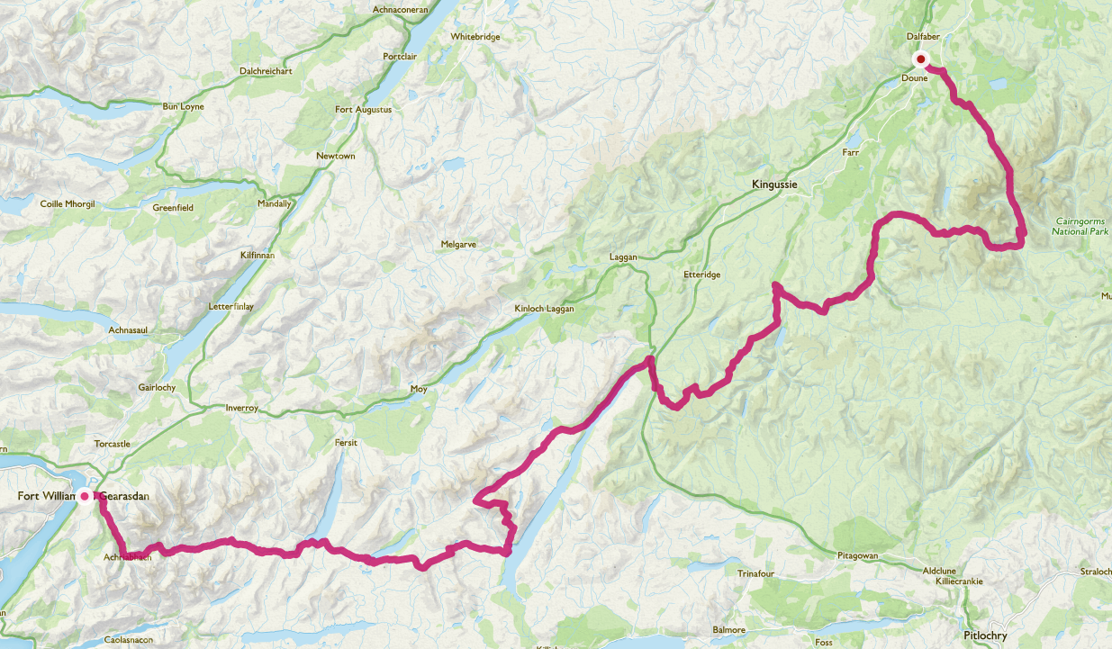
The Alder Trail is just a label for a route I have threaded together between Fort William and Aviemore, sticking to the wilder areas and shying away from the populated glens. I won’t go into too much detail on the route here1, but it’s up there with the Cape Wrath Trail in terms of difficulty, and takes in several Munro summits along the way. It’s certainly nothing new – this is prime TGO Challenge country, and hundreds of people have probably done this route before. I’m just sticking a label on it.
The high mountains are still shrouded in winter’s grip, so I will be sending a gear drop package to pick up in Fort William containing ice axe and microspikes. I’m also looking into sending a food parcel to Dalwhinnie, which is the only possible place for a resupply.
I expect the Alder Trail to take me seven days. It’s 101 miles in length.
The Skye Trail
When I get to Aviemore I’ll probably chill out for a day or two, maybe go for a walk in the woods and do some forest camping, but soon enough it’ll be back on the trail. I’ll take the bus to Inverness where I will meet up with my brother James. He’ll be joining me on the grand finale of my walk.
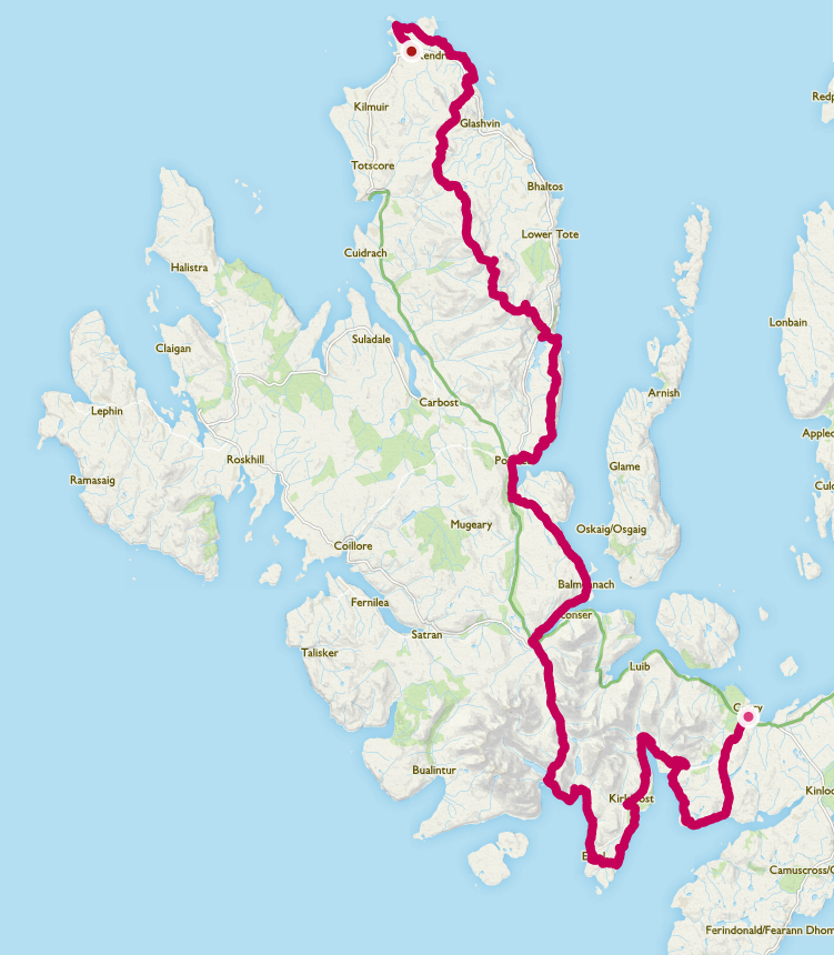
I’ve been fascinated by the idea of the Skye Trail for years now. Skye is a place that I have loved and been frustrated by in equal measure; I’ve only been there a few times, only been up into the Cuillin once, but I’ve seen enough – through the mists and the rain – to realise what a special place it is. James knows Skye far better than I do, and he’s full of ideas for variations on the trail and the best places to go for spotting eagles or whales.
Our variant of the Skye Trail (there are multiple possible routes) is around 81 miles long and we will be hiking south to north, enjoying the coast and the views of the Cuillin Ridge first before tackling the Trotternish Ridge right at the end.
The Skye Trail is a grand tour of all the island’s best bits. To say I’m looking forward to it would be a pretty big understatement.
Naeboots hikes again
The feeling of excitement as I stand on the brink of a new backpacking season is palpable. Already I have been following the online reports from friends attempting the Cape Wrath Trail, thinking back to my own journey last year, and remembering how special it is to travel unhindered through wild country, everything you need carried with you.
Once more I’m thinking ahead to what makes it all so worthwhile.
The silence…
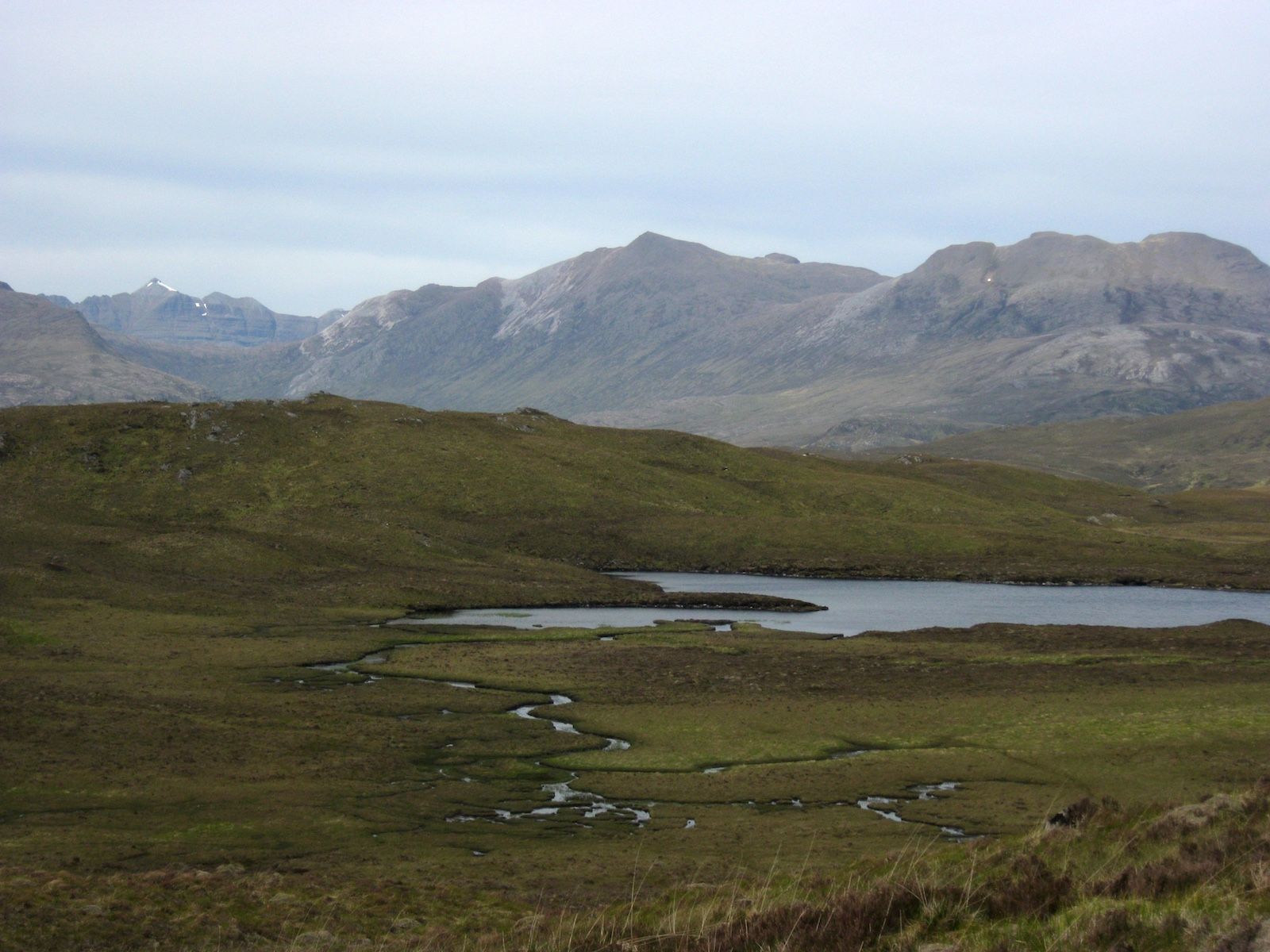
The easy days when the sun shines…
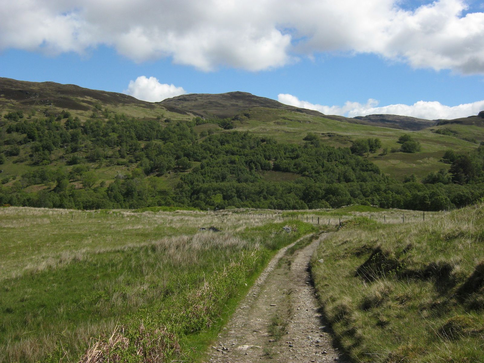
The bogs (yes, I’ve even missed the bogs!)…
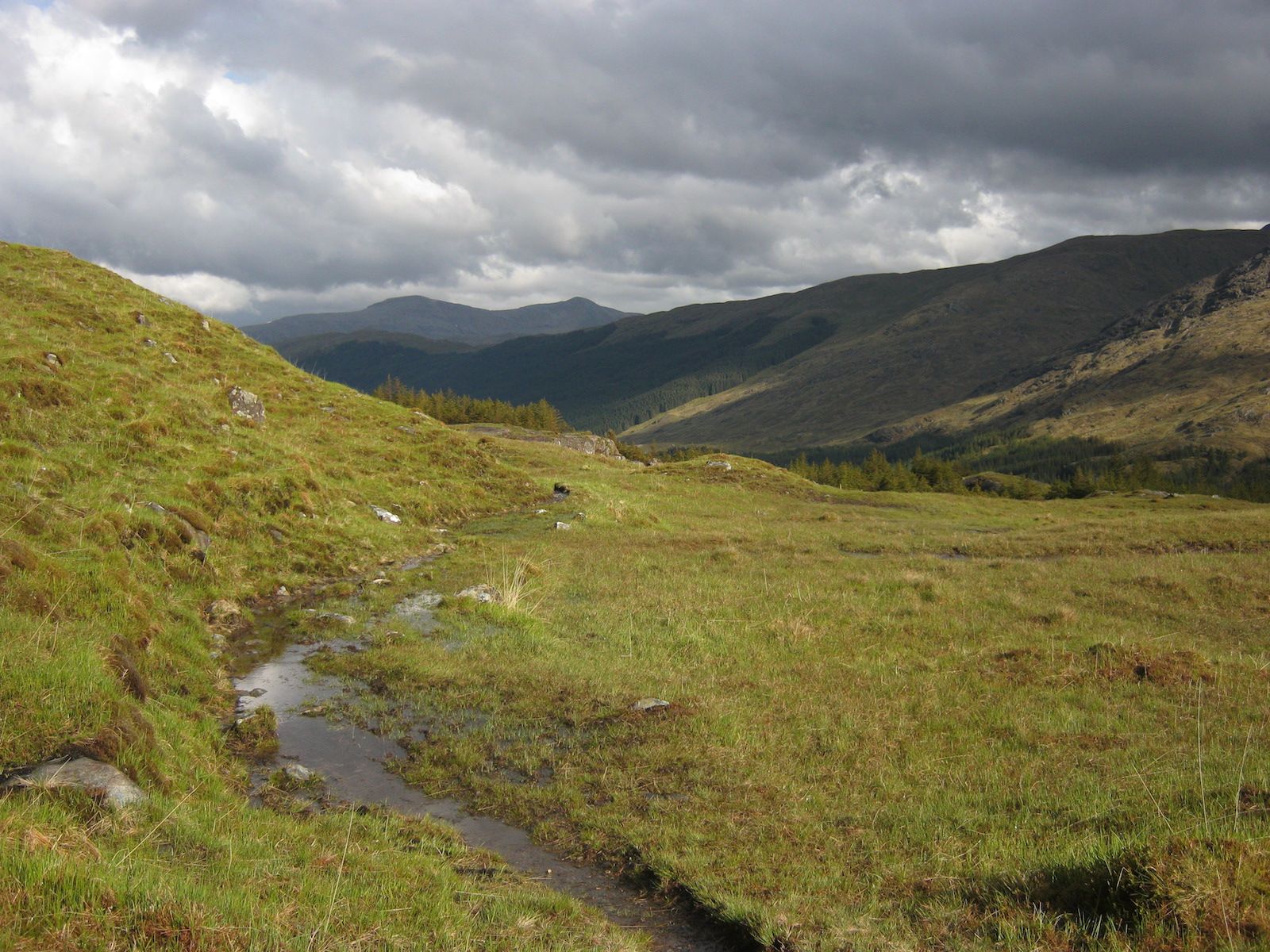
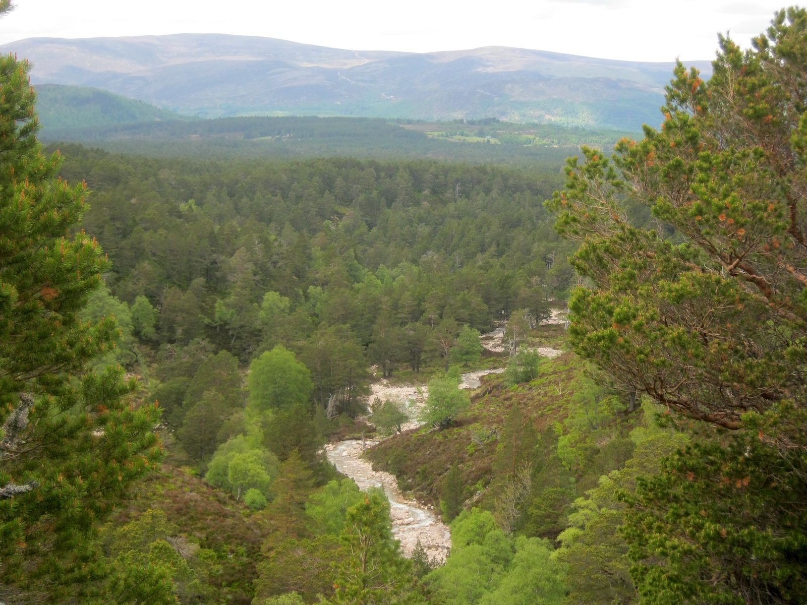
The forests…
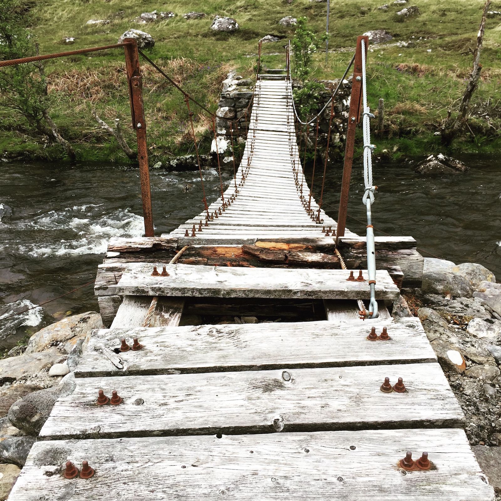
The dodgy bridges…
The sheer wild beauty of it all…

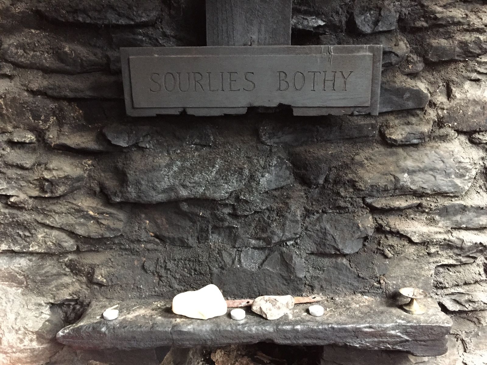
The bothies…
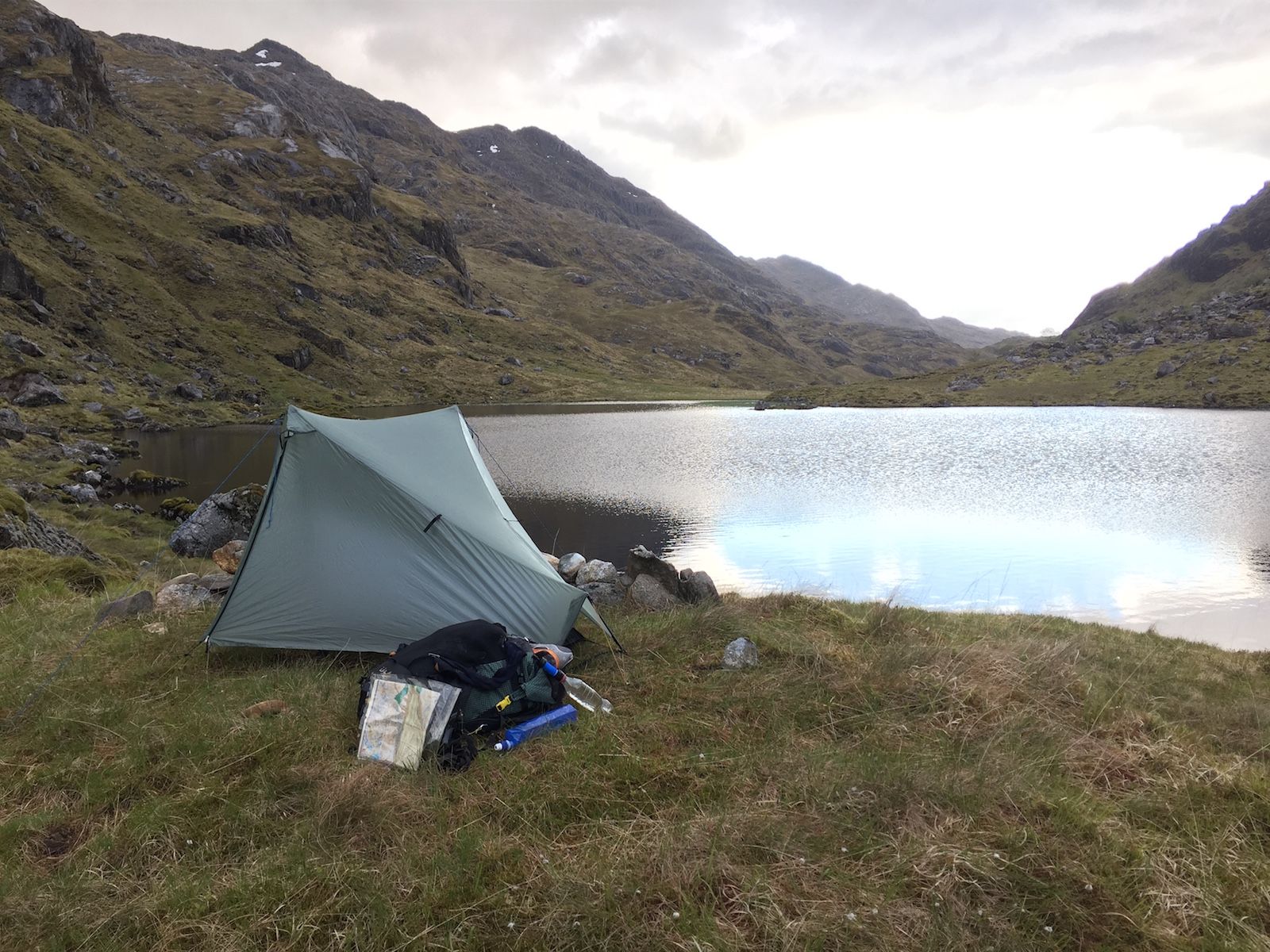
Those perfect wild camps…
And, of course, the epic food when briefly returning to civilisation…

I love winter, but now my pack is getting lighter, my miles are getting longer, and as the days lengthen ahead of me my heart is already on the trail. It’s going to be a great summer of backpacking, and I hope to meet some of you out there!
- It’s no big secret, and the knowledgeable amongst you will be able to figure it out just by looking at my small map here, but since this project is for a magazine commission I don’t want to spoil the surprise too much! ↩
Alex Roddie Newsletter
Subscribe here to receive my occasional personal newsletter in your inbox. (For the fun stuff, please consider subscribing to Alpenglow Journal instead!)


