HRP/GR11 Day 10
The HRP / GR11 blog series
Back on the GR11
Total miles walked: 104
HRP Stage: GR11 Variant day 2/3
Location: upper Lago de Vallibierna
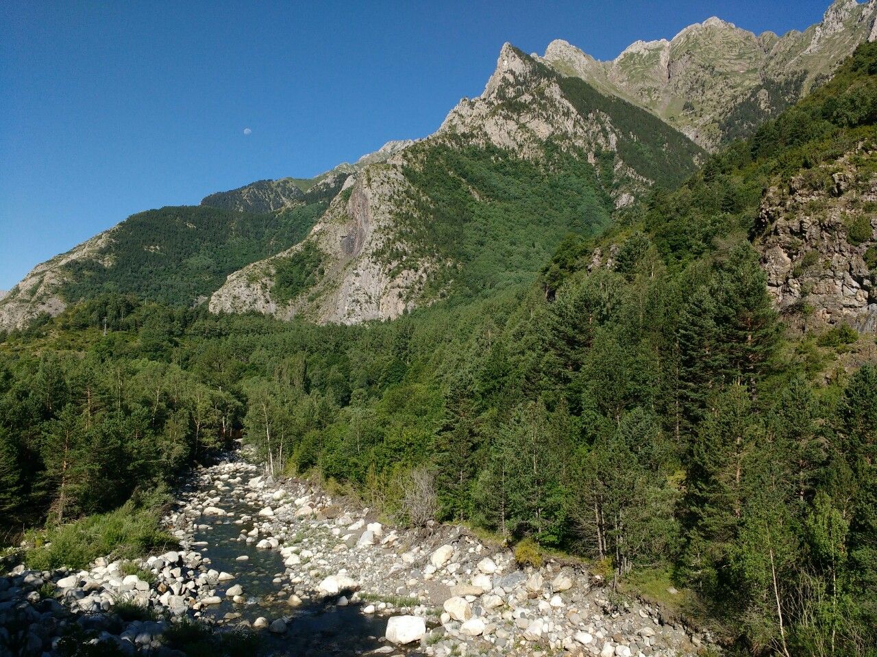
I haven’t written up a post for yesterday, because I was ill and spent another day in the Valle de Benasque. I woke up feeling incredibly queasy and weak, and was in no fit state to hike, so I remained at Camping Aneto and made sure I stayed hydrated, although I couldn’t stomach anything more than a handful of dry biscuits.
Happily, I felt much better this morning; must have been something I ate. The weather has cleared once again although the temperature is a lot lower now, no doubt thanks to the thunderstorms clearing the air. 20C is a far more comfortable hiking temperature than 30+C! However, storms are forecast to return within the next couple of days, so I decided not to take the HRP route north of the Aneto/Maladeta massif, as I have concerns about the passage of Tuc de Molieres in thundery weather. Also, word on the trail is that it’s unusually snowy this year.
So I’m back on the GR11, hiking through the incredibly beautiful Valle de Ballibierna. This isn’t a cop-out by any means – I still have to traverse a 2,720m col in a rugged, demanding alpine landscape, but it’s less technical than the HRP line to the north. I have changed the name of my posts to reflect that this is now a combined HRP and GR11 hike, rather than a pure HRP hike.
The first part of today’s ascent took me along a gently inclined dirt road, which led to an unstaffed cabana (in spirit, a bothy). From this point the terrain became much rockier, with rough mountain walls composed of great granite slabs and boulder-fields rising out of the pine forests. Although the terrain looked arid, resembling pictures I’ve seen of the Sierra Nevada in California, there were in fact plenty of streams and I never had to carry more than 500ml of water. I’ve noticed, however, that water in this region tastes a little bitter, even when filtered. A red residue can be seen on the rocks of many of the streams, leading me to suspect there are rich iron deposits in Posets-Maladeta.
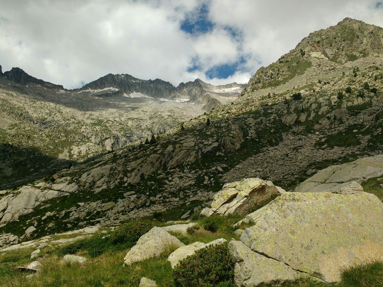
The south side of the Maladeta range is one of the most beautiful landscapes I’ve seen so far on my journey. There’s very little snow, but it’s uncompromisingly rocky, with almost no vegetation on some slopes above about 2,500m.
I had originally planned a short day ending at the Pleta de Llosas, which according to Joosten makes a good campsite. But when I passed the place it looked unattractive – little better than a swamp, and infested with giant horseflies. I kept hiking.
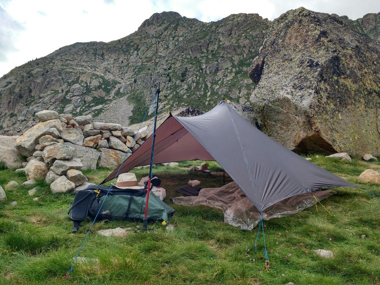
The GR11 becomes little more than a waymarked route over giant boulders near the Lagos de Vallibierna, two beautiful lochans secluded about 300m below the summit of the pass. This section took me a little longer than expected due to the rough scrambling, and I reached the upper lochan at about 18.00. Although I considered aiming for the next bivouac place on the other side of the col, I was tempted by a rather fine perch above the water, defended from the wind by a rough stone wall, and I decided to stop here for the night. Besides, I’m a little more tired than I thought I would be.
This is a peaceful location. The only sounds are the calls of marmots and the roar of the torrent. A little cloud is brushing the summit of Pico de Russell to the north, but the wind has dropped. Tomorrow I’ll descend from this mountain range and make my way to the Hospital de Vielha. From there it’s only two days to Salardu, the start of the final section of my voyage.
Alex Roddie Newsletter
Subscribe here to receive my occasional personal newsletter in your inbox. (For the fun stuff, please consider subscribing to Alpenglow Journal instead!)


