The Haute Route Pyrenees: Field Notes
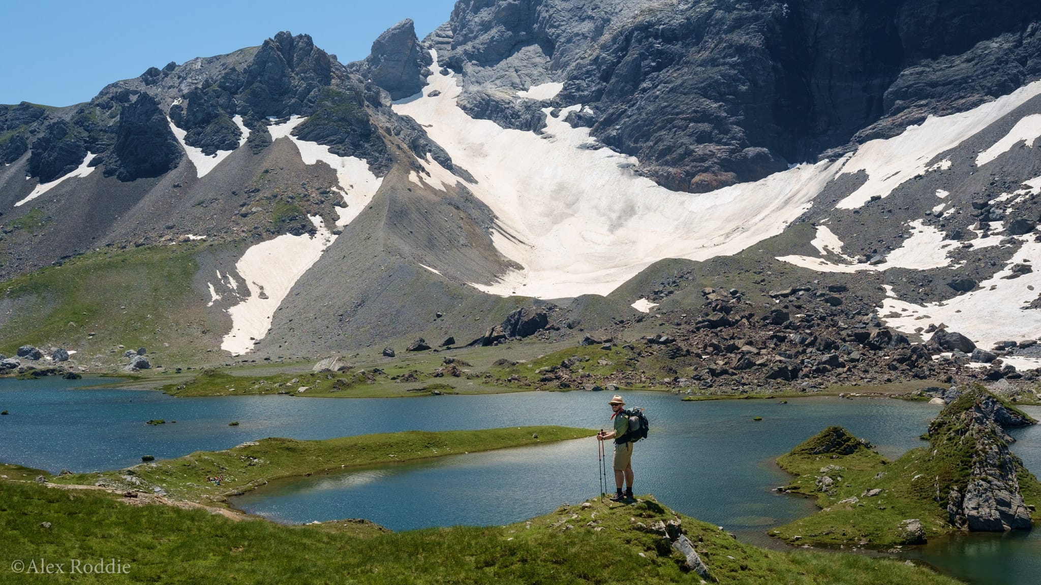
In the August 2017 issue of The Great Outdoors, you’ll find my latest backpacking feature, entitled Chased by Storms. Here’s the lowdown on my route through the Pyrenees along with some extra photos and notes.
My July 2016 trip to the Pyrenees was a first for me – my first trip to a European mountain range outside the Western Alps or Norway. I’d originally pondered a complete thru-hike of the 500-mile Haute Route Pyrenees from Atlantic to Mediterranean, but had to curb my ambitions when I sat down and figured out how much time I actually had. A section hike would have to do.
It was a great trip, but also a challenging one. In my feature I explore how backpacking is never a completely positive experience; how pressures, challenges and worries erode the sense of pure enjoyment on the trail.
Click here to download a copy of my GPX file for the route, compatible with your GPS or mapping application of choice.
Although my intention was to stick to the line of the HRP, a combination of mountain thunderstorms and a lingering stomach bug led to me diverting down the easier (and lower) GR11 towards the end of the trip. I used the GR10 to access the trail from Cauterets. This hybrid approach is quite feasible in the Pyrenees, where difficult HRP sections can be avoided if necessary.
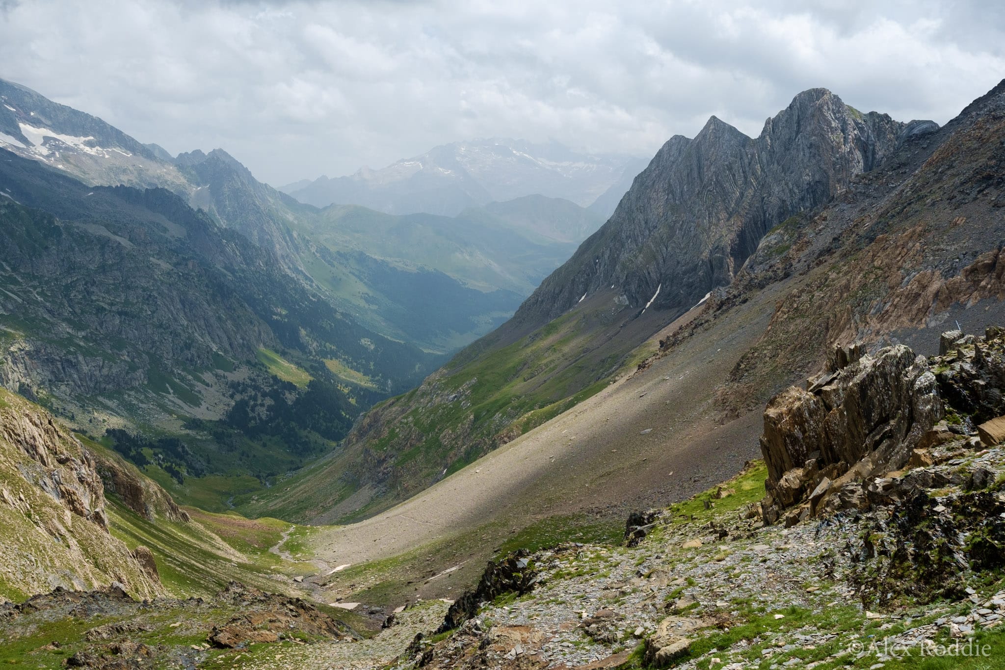
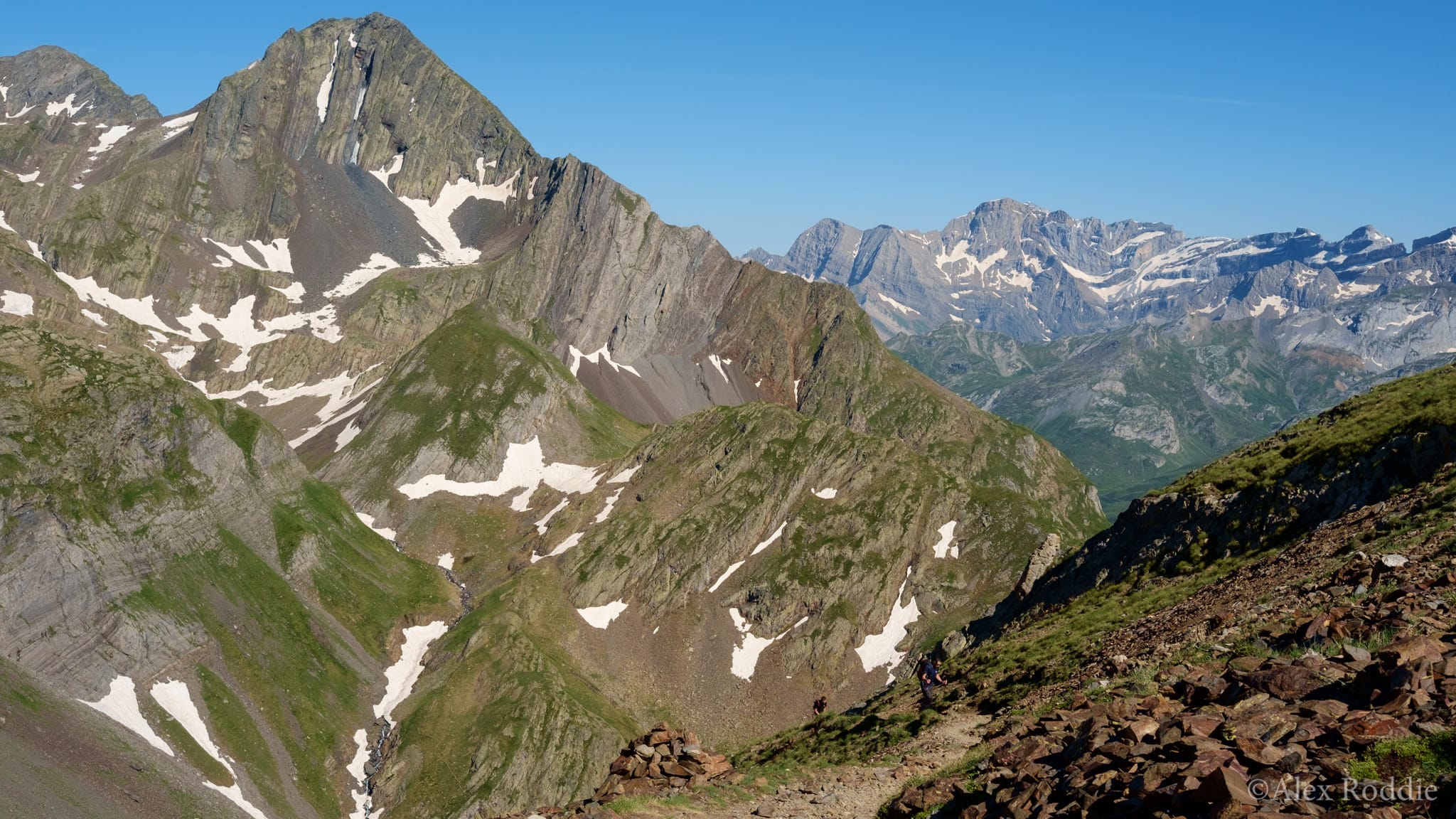
Cauterets is a good base for approaching the central section of the Pyrenees west of Andorra. The mountains are fantastic in this area and I moved spellbound through an alpine landscape of snow-clad peaks, meadows and forests that seemed like the best of the Alps to me, but on a more amenable scale and with a little more wildness. The great thing about the Pyrenees is that no glaciers intrude on passes; while glaciers must sometimes be trodden to tackle the highest peaks, the long-distance walker can thread every col on the range without worrying about crevasses.
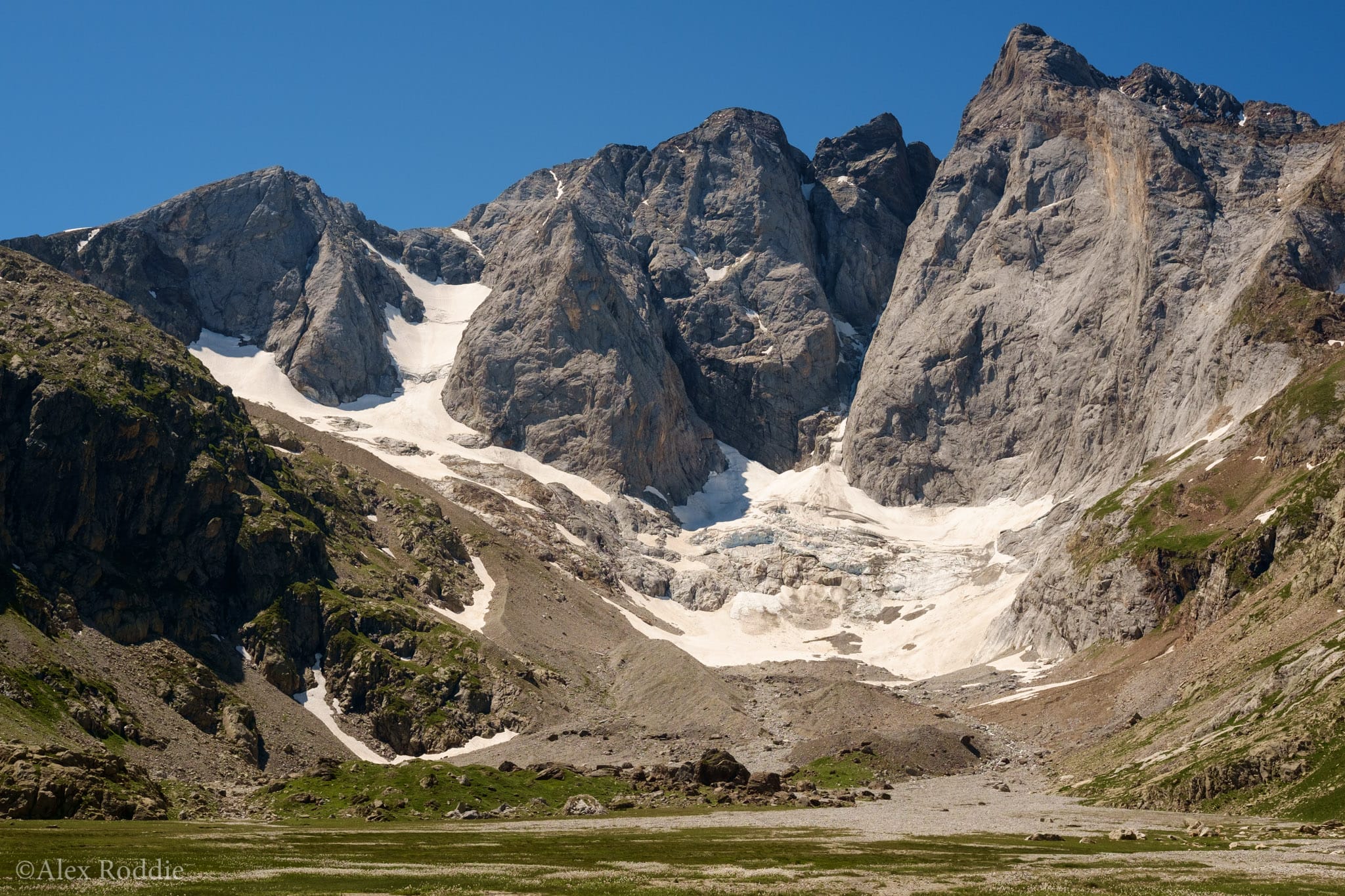
I joined the HRP just before the magnificent Vignemale section, where I met a wizard (read the article!) and then continued on to Gavarnie, a touristy but photogenic small town on the French side of the border. While a day on the HRP doesn’t require the insane amount of ascent that you’d need to follow a similar distance through the great chain of the Western Alps, the terrain is still steep enough, and the heat adds an extra layer of challenge if you aren’t used to it.
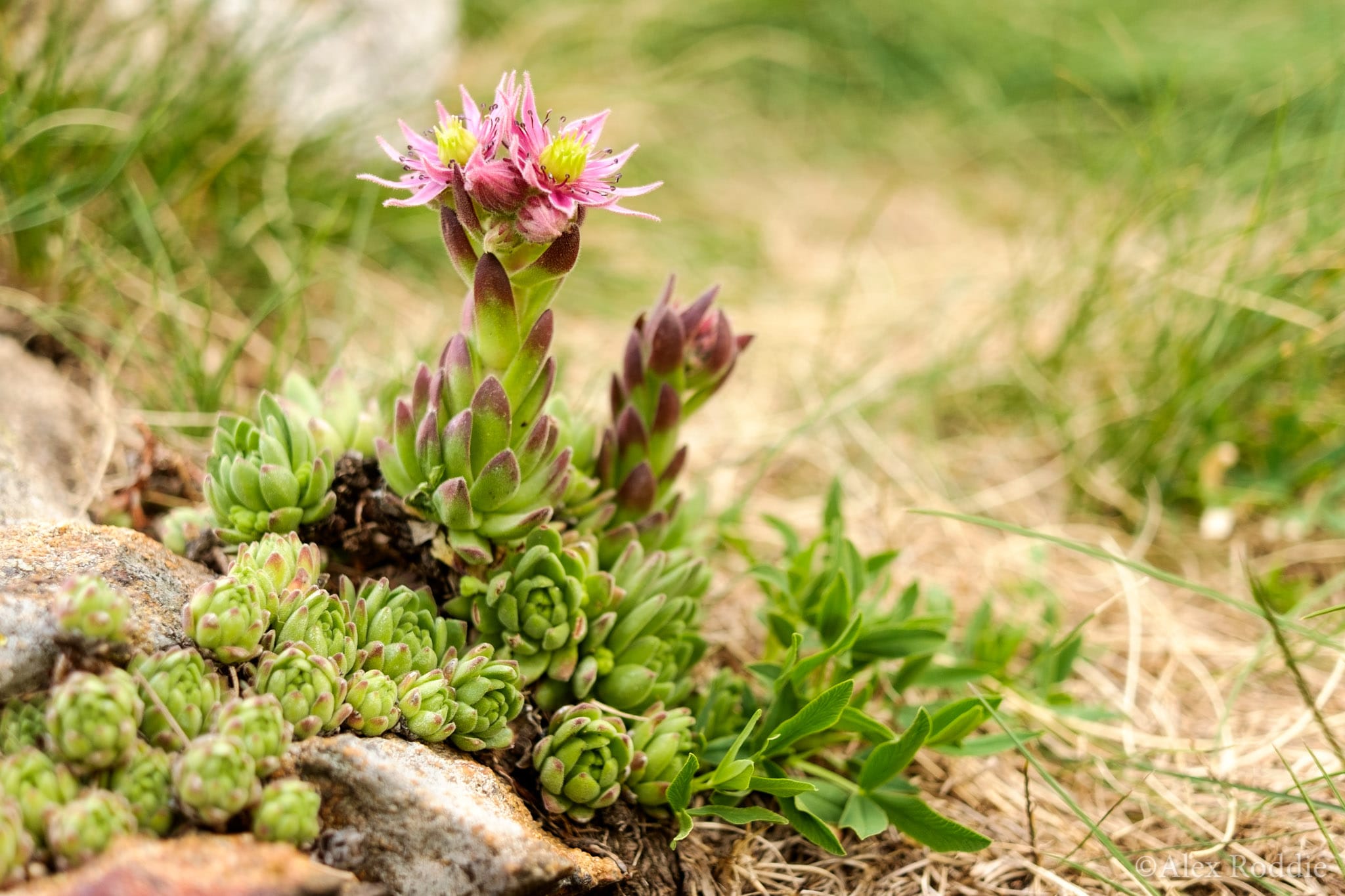
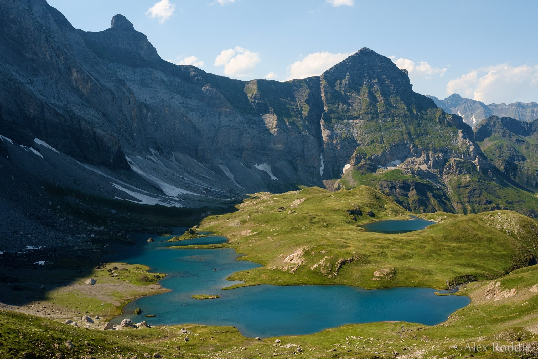
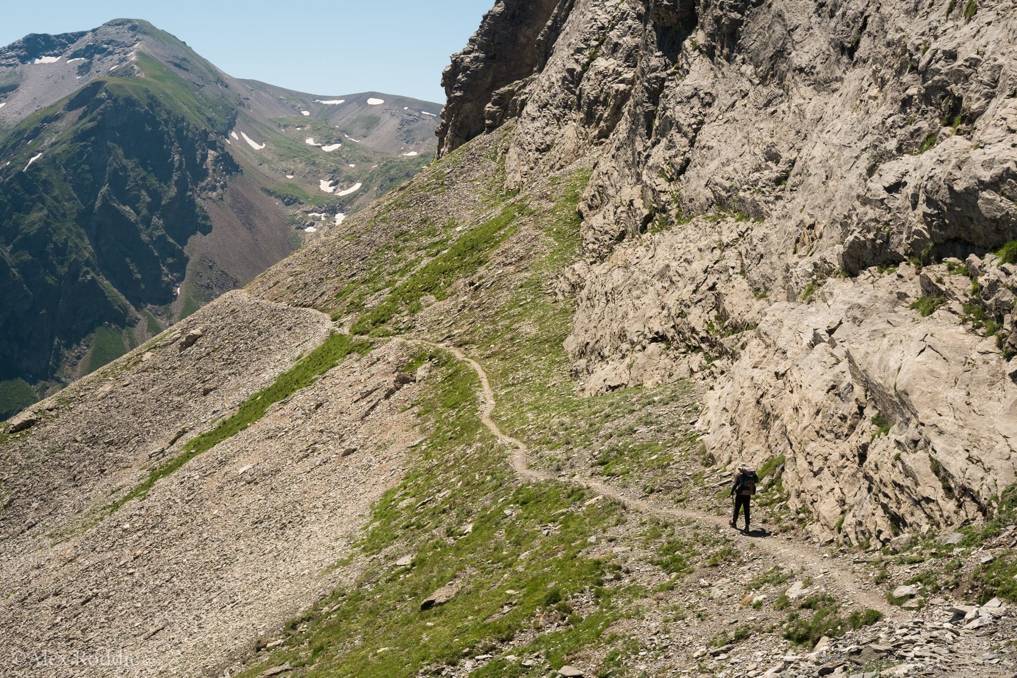
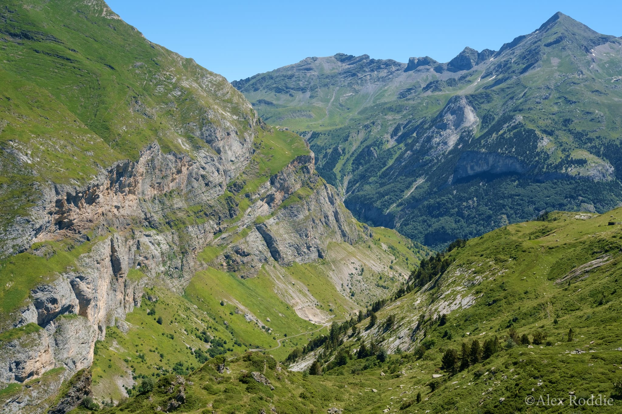
As I approached Andorra, and my route stuck more and more to the Spanish side of the range, the mountains became drier and less resembled the Alps I knew so well. In places the landscape resembled my mental image of the Sierra Nevada: arid peaks rising through blue heat from pine forests, perhaps crowned with a few dying glaciers. Apocalyptic thunderstorms chased me through this section and led to me skipping some of the higher, exposed bits of the HRP itself, playing it safe with the GR11 instead.
I had no difficulty wild camping on my route. In some areas wild camping is restricted to between 19.00 and 07.00. I took my Trailstar, which was ideal for protection from torrential rain during thunderstorms. You’ll find more remarks on gear in my feature. This was my first outing with the poncho tarp as my sole item of rain gear and my impressions were mixed.
My first visit to a new mountain area is often cautious, tentative, as I learn its peculiar characteristics. This time was no exception and I know I’ll be back with an even lighter pack, improved knowledge, a firmer plan, and fitter legs.
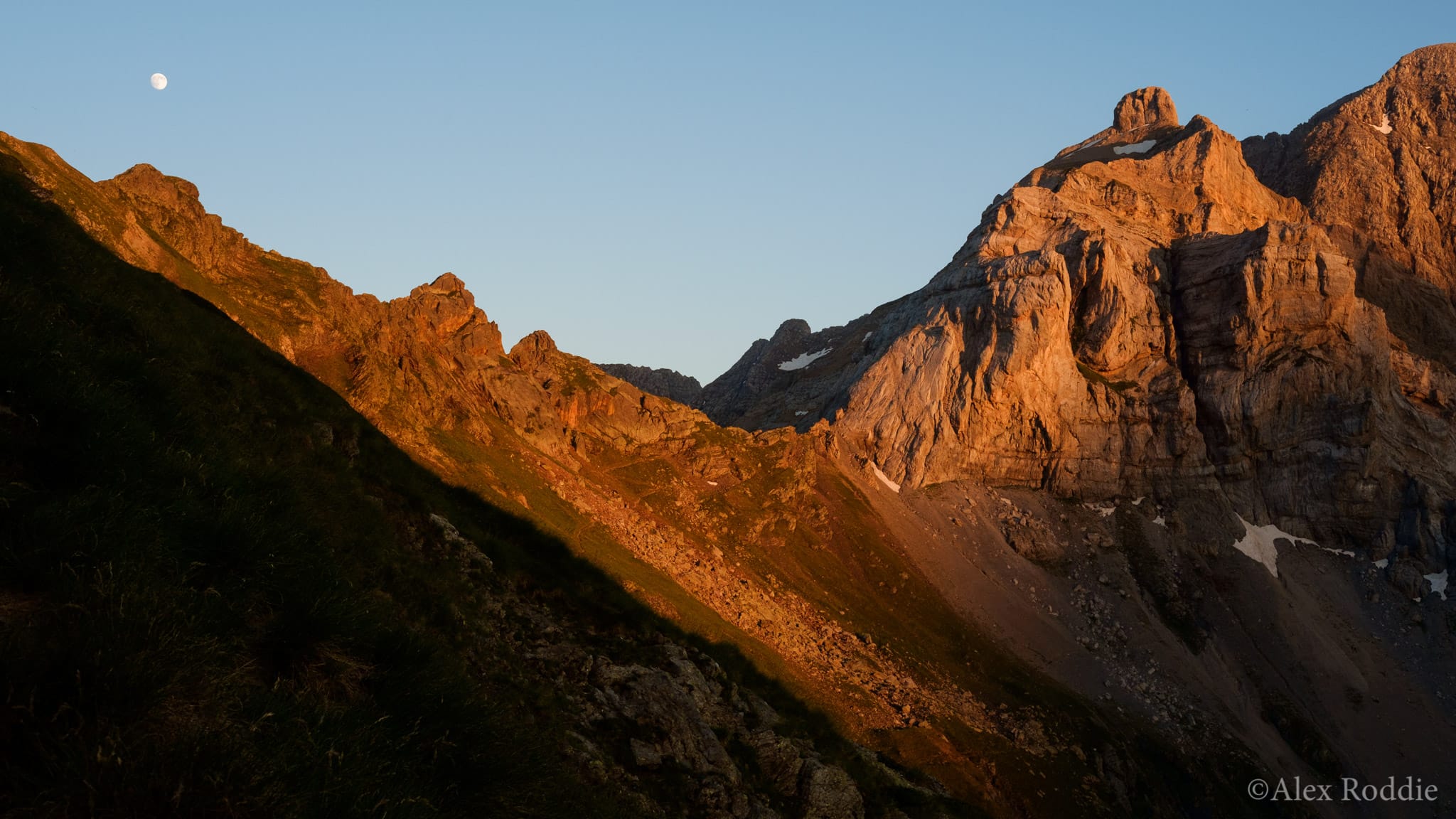
To read the full feature, pick up a copy of The Great Outdoors (Aug 2017). You can now order a single copy online and have it delivered at no extra cost.
Alex Roddie Newsletter
Join the newsletter to receive the latest updates in your inbox.


